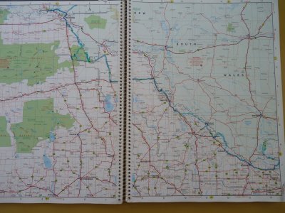
Hema 7 Pages 46-47
We saw some undergrowth here, but still not as much as we expected. Much evidence of grazing.
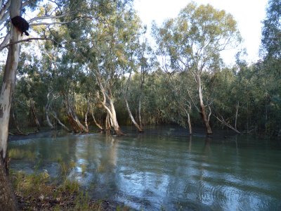
There are creeks which leave the main river then re-join somewhere downstream. They provide water for wetlands.
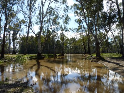
The regulator is a weir. It was open, the channel was filling, and the forest was flooding.
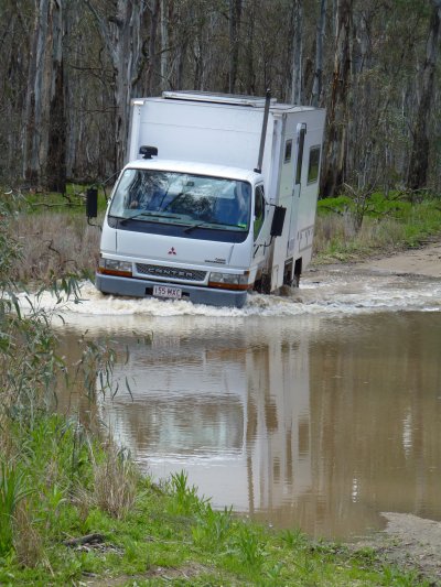
The first track we tried got a bit muddy so we tried another.
A ranger coming the other way mentioned there was some water over the track that he'd had a bit of trouble with - but "you'll be ok in that".
About 700mm deep where we crossed, a lot deeper to our left.
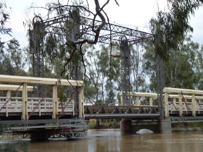
This one was at Koondrook.
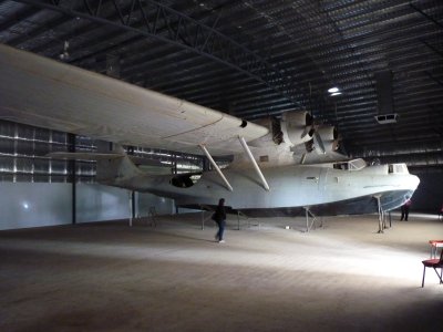
The old Catalina is in a shiny new shed (from economic stimulus).
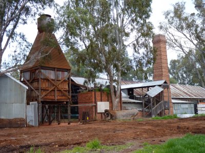
Interesting bits and pieces with some history in the old communications centre.
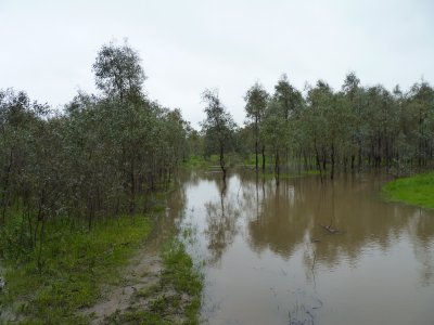
By this time we'd become used to watching the river rise.
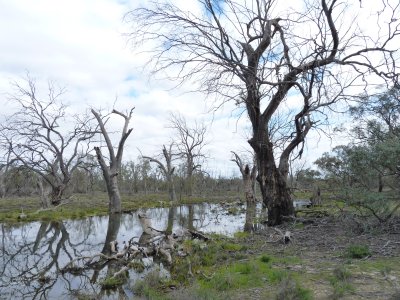
On one walk through the forest we realised that there was water filling the wetland behind us.
Oops! Time to leave.
At last we'd found some young trees.
Still not much other undergrowth though.
It did confirm "time to go".
Subsequently several rivers upstream (Goulbourn, Ovens, Broken, etc) flooded which extended into the Murray. I guess we were lucky!
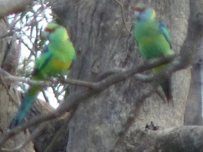
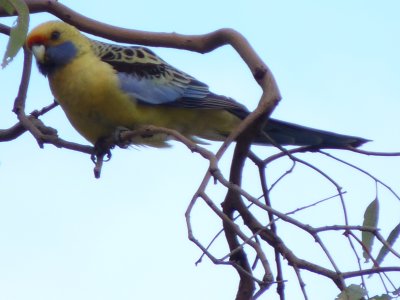
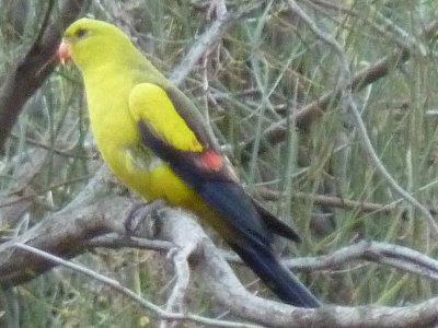
A couple of Mallee Ringnecks at Hattah Lakes.
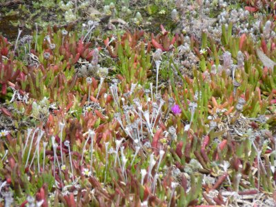
Pig Face again.
Now we think we know what Mallee looks like we can look forward to Mulga, somewhere North of the Murray.
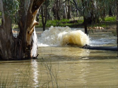
Unfortunately the Murray would have to rise a few more metres for Chalka Creek to flow naturally. Hattah Lakes have been dry for several years.
In some sort of deal with irrigators who can't use the water unless they also have rain it is being pumped into Chalka Creek (photo of pump outlet).
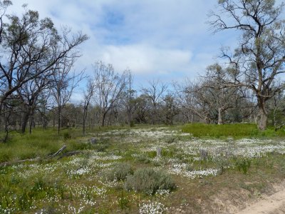
To our inexperienced eye the Lakes were recovering well.
We really don't know if its too late for these trees or not.
We believe Red Gums have many strategies for drought, including shedding limbs.
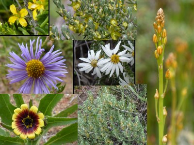
The country is really putting on a show for us.
Here's a bit of a montage.
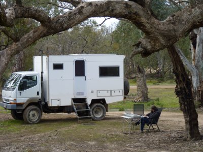
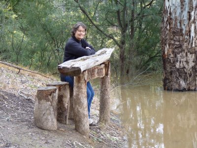
Either way, the Murray isn't far away and the camping was good (though still somewhat chilly).